Your Complete Land Survey Team
Professional Survey Services Throughout Scotland
Contact usYour complete land survey team
Douglas Land Surveys Ltd was established over 25 years ago, since which time many thousands of commissions have been carried out, ranging from the smaller individual house plot or boundary dispute, to much larger sites such as wind farm developments and hydro electric schemes, typically covering hundreds of hectares.
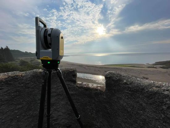
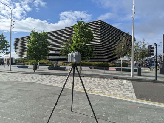
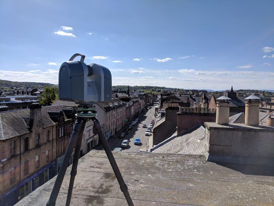
All aspects of topographic land surveying, together with other related works such as façade surveys using state of the art 3 dimensional laser scanning, inshore hydrographic surveys, volumetric works, cross sectioning, boundary resolution, preparation of title deeds, setting-out works and as-built survey works are undertaken and survey commissions are carried out throughout the Scottish mainland and Islands as well as the North of England and Ireland
Instrumentation, including electronic theodolites, digital levels, global positioning systems and 3-dimensional laser scanners are serviced annually by the manufacturer to ensure reliable and accurate data capture. Full insurance cover is carried at all times, including professional indemnity, employers and public liability insurances
Quality and reliability
Our quality is continually monitored and our in-house quality assurance manual has been developed to meet the requirements of BS 5750 ; ISO 9001 and EN 29001.
The majority of our workload is generated by referrals and repeat commissions from existing clients, who appreciate the personal and efficient service offered by Douglas Land Surveys. Every effort is made to ensure that data is delivered to the client ahead of programme, to the agreed cost and to the correct quality standard. We are also happy to provide lump sum fee proposals, prior to commission, to ensure individual clients know, not only the cost of the survey, but also how long it will take to carry out the works and when data will be submitted.
Survey commissions are undertaken using the latest electronic distance measurement equipment, 3 dimensional laser scanner or global positioning equipment and data can be output in a variety of hard copy or electronic formats to suit individual client requirements.
For all your survey requirements, call us on
01382 541 333
Follow us
© 2024. The content on this website is owned by us and our licensors. Do not copy any content (including images) without our consent.